
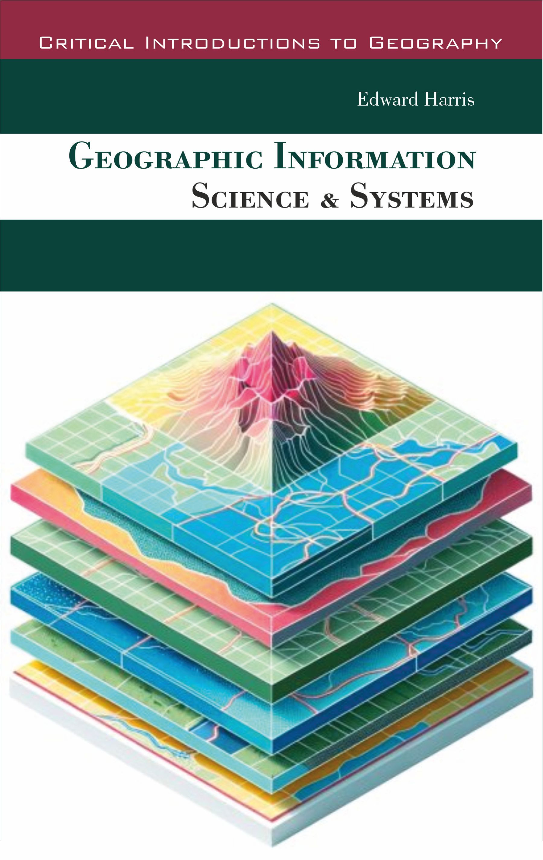
"Geographic Information Science & Systems" provides a detailed examination of the framework for capturing, managing, analyzing, and visualizing spatial data. The book establishes the core principles of GIScience, which include the conceptual models for representing real-world geography as digital data-through points, lines, polygons, and raster grids. It details the critical process of georeferencing, which ties this data to precise locations on the Earth's surface using coordinate systems and map projections. A central theme is the transformation of raw geographic facts into structured information that can support query, measurement, and interpretation. The narrative then focuses on the functional components of GISystems, the software and hardware that bring the science to life. This includes databases specifically designed for spatial data, tools for editing and maintaining data integrity, and a suite of analytical operations. The text explains key techniques like overlay analysis, buffer creation, network routing, and spatial statistics, showing how these methods extract patterns, relationships, and trends that are not apparent in tables or simple maps. It further explores cartographic design and visualization methods for effectively communicating geographic insights.This work positions GIS as an essential integrative technology for a vast range of disciplines.
Edward Harris operates at the critical junction where geography meets computation. His domain is Geographic Information Science & Systems (GIS), a field he presents not merely as a software tool, but as a fundamental framework for asking spatial questions and solving realworld problems. For Harris, every feature on the Earth's surface-a road, a disease cluster, a forest, a zoning law-holds a location, and that location is a key to unlocking patterns, relationships, and insights invisible in spreadsheets or lists. Harris excels at demystifying the technical core of GIS while foregrounding its analytical power. He articulates how spatial data is captured from satellites, surveys, and sensors; structured within databases using models for vectors, rasters, and topologies; and transformed through precise geospatial analysis. His focus rests on the logic behind the operations-how overlay functions combine map layers, how network analysis finds optimal routes, and how spatial statistics distinguish meaningful clusters from random noise. A central theme in his work is the indispensable link between rigorous scientific methodology and effective system use. He emphasizes that a GIS is only as insightful as the questions it is asked and the data it is fed. His teaching and writing guide practitioners through the entire workflow: from defining a spatial problem and collecting appropriate data, to selecting correct analytical methods, and finally to crafting maps and visualizations that communicate results with clarity and integrity. As a communicator, Harris's style is structured and pragmatic. He avoids software-specific jargon, focusing instead on universal concepts of scale, projection, uncertainty, and spatial relationship. He frames GIS as a discipline of thoughtful inquiry, where the map becomes both a powerful analytical engine and a compelling narrative device for stories about urban growth, environmental change, public health, and social equity.
| Preface Chapter 1. Introduction to Geographic Information Science and Systems Definition, Scope, and Evolution of GIScience Components and Architecture of Geographic Information Systems Differences between GIS, GIScience, and Geospatial Technologies Spatial Thinking and Geographic Inquiry Historical Development of GIS and Cartography Role of GIS in Decision Making and Planning Interdisciplinary Perspectives in GIScience Emerging Trends and Future Directions Chapter 2. Geographic Data and Spatial Data Models Types of Geographic Data: Raster and Vector Attribute Data and Metadata Standards Data Sources: Remote Sensing, GPS, and Surveying Spatial Data Accuracy, Precision, and Quality Topology and Network Data Structures Geospatial Databases and Storage Techniques Data Integration and Interoperability Challenges in Big Geospatial Data Management Chapter 3. Geodesy, Coordinate Systems, and Projections Earth’s Shape and Geodetic Reference Systems Latitude, Longitude, and Coordinate Systems Map Projections: Concepts and Types Conformal, Equal-Area, and Equidistant Projections Horizontal and Vertical Datums Transformation between Coordinate Systems Georeferencing and Registration Techniques Positional Accuracy and Error Analysis Chapter 4. Spatial Analysis and Modeling Introduction to Spatial Analysis Concepts Overlay, Buffering, and Spatial Query Techniques Proximity, Adjacency, and Network Analysis Raster-Based Spatial Modeling Geostatistics and Spatial Interpolation Spatial Autocorrelation and Pattern Detection Multi-Criteria Decision Analysis (MCDA) in GIS Applications of Spatial Modeling in Problem Solving Chapter 5. Cartography and Visualization in GIS Principles of Thematic Map Design Symbolization, Color, and Typography Visual Variables and Cartographic Representation 2D and 3D Visualization Techniques Interactive and Web-Based GIS Visualization Visualization of Uncertainty and Data Quality Map Layouts, Legends, and Presentation Standards Human Perception and Cognitive Aspects in GIS |
|

$280.00