
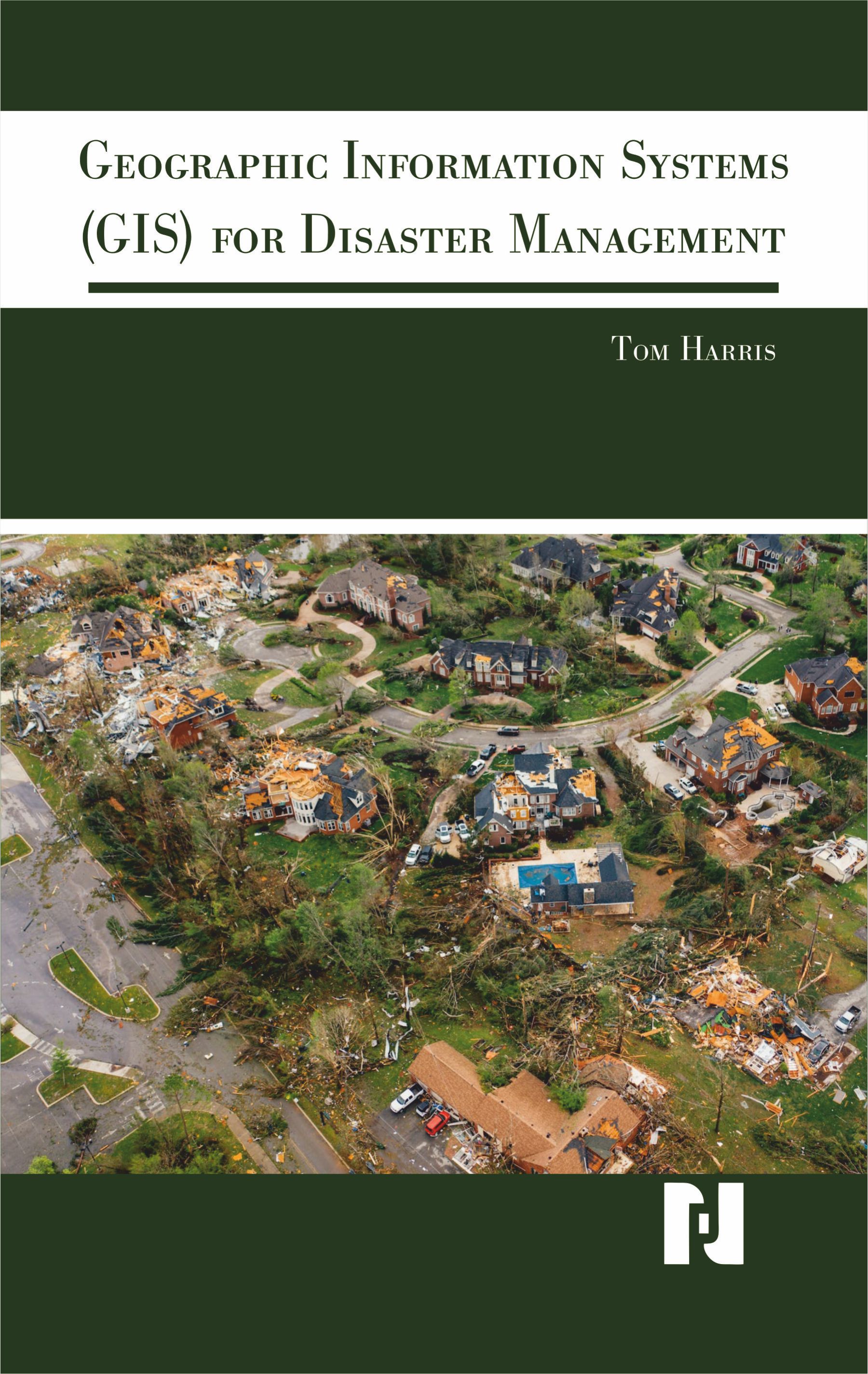
GIS play a crucial role in disaster management by providing valuable tools and technologies for collecting, analysing, and visualizing geospatial data. Geographic Information Systems (GIS) provide essential disaster management decision support and analytical capabilities. As such, homeland security professionals would greatly benefit from an interdisciplinary understanding of GIS and how GIS relates to disaster management, policy, and practice. Using a hands-on approach grounded in relevant GIS and disaster management theory and practice providing coverage of GIS fundamentals applied to disaster management. Real-life case studies demonstrate GIS concepts and their applicability to the full disaster management cycle. The learning-by-example approach helps readers see how GIS for disaster management operates at local, state, national, and international scales through government, the private sector, non-governmental organizations, and volunteer groups. By combining GIS and remote sensing technologies, emergency response teams can enhance their capabilities in disaster preparedness, response, and recovery. These tools enable faster decision-making, improved resource allocation, and more effective coordination, ultimately saving lives and minimizing the impact of natural disasters. This book includes real-life examples to engage readers and authorities, providing unique insights into disaster management. It highlights the roles of institutes, volunteers, communities, and educational institutions in implementing recovery policies and educating the masses. This book stimulates critical thinking and encourages readers to develop their own ideas by combining the methods discussed. Written after extensive research and personal experience, this book tackles sensitive issues, emphasizing the need for awareness and effective policies. It offers an array of techniques and methods, with detailed examples. This book focuses on the application of GIS to disaster management. The book assumes no previous knowledge of GIS and little to no experience with disaster-management ideas or concepts. This book is written for disaster management students interested in learning about the many facets of geographic information systems (GIS) for disaster management. Disasters continue to proliferate in size, scope, and intensity. Disasters are affecting more people in diverse geographical contexts than ever before. Given that disasters are fundamentally spatial in nature, GIS plays a critical role in disaster management.
Tom Harris is an associate professor and director of the Center for Geographic Information Science and Technology at the Rochester Institute of Technology in Rochester, NY, USA, and an adjunct professor with the Centre for Disaster Management and Mitigation. His research interests are in the domains of geographic information science and technology, geographic visualization, spatial thinking, disaster management, and forced displacement. His published research has appeared in top scientifc journals such as Information Visualization, Computers, Environment and Urban Systems, Computers and Geosciences, and The Cartographic Journal. He is the cocreator of the Refugee GIS (RefuGIS) project that is the world's first innovation project to empower refugees themselves to use GIS. He is actively involved in international disaster management and refugee affairs research with research projects funded by the US National Science Foundation (NSF) in Rwanda, Germany, and Jordan as well as collaborations with the United Nations High Commissioner for Refugees (UNHCR) in Rwanda and Jordan.
| Preface Chapter 1. Introduction to GIS and Disaster Management Definition and Concept of GIS Evolution and History of GIS Basics of Disaster Management Role of GIS in Disaster Risk Reduction Importance of Spatial Information in Emergencies Chapter 2. Fundamentals of Natural Disasters Earthquakes: Causes and Mapping Floods: Hydrological Analysis and GIS Use Cyclones and Hurricanes: Forecasting and GIS Monitoring Landslides: Terrain Analysis and Risk Zonation Volcanic Eruptions: Spatial Risk Mapping Chapter 3. Principles of GIS in Disaster Management GIS Data Types: Raster and Vector Map Projections and Coordinate Systems Spatial Analysis Tools for Risk Assessment Overlay and Buffer Analysis Remote Sensing and GIS Integration Chapter 4. GIS for Hazard Mapping Identifying Hazard-Prone Areas Creating Hazard Maps with GIS Use of DEMs (Digital Elevation Models) in Mapping Vulnerability and Exposure Mapping Landslide Susceptibility Mapping Chapter 5. Vulnerability and Risk Assessment Definition of Vulnerability and Risk Population and Infrastructure Exposure Mapping Socioeconomic Indicators in Risk Assessment Environmental Sensitivity and Fragility Quantitative vs Qualitative Risk Models |
Chapter 6. Remote Sensing in Disaster Monitoring Satellite Sensors for Disaster Monitoring Pre- and Post-Disaster Image Comparison Change Detection in Disasters Thermal Imaging in Fire Monitoring Synthetic Aperture Radar (SAR) for Floods and Earthquakes Chapter 7. GIS in Disaster Preparedness Early Warning Systems and GIS GIS in Evacuation Route Planning Shelter and Resource Mapping Public Awareness and Community Mapping Scenario-Based Planning with GIS Chapter 8. GIS in Emergency Response Incident Mapping and Real-Time Dashboards Crisis Mapping Tools and Apps Emergency Communication Networks Routing and Accessibility Mapping Mobile GIS for First Responders Chapter 9. GIS in Post-Disaster Recovery Damage Assessment Mapping Reconstruction Planning using GIS Monitoring Temporary Housing and Facilities Infrastructure Rehabilitation Mapping Chapter 10. Disaster Database and GIS Integration Disaster Databases: EM-DAT, DesInventar Spatially Referenced Disaster Event Datasets Metadata Standards for Disaster Data Integration of Historical Disaster Records Updating and Maintaining GIS Databases Spatial Temporal Data Analysis Bibliography Index |

$280.00