
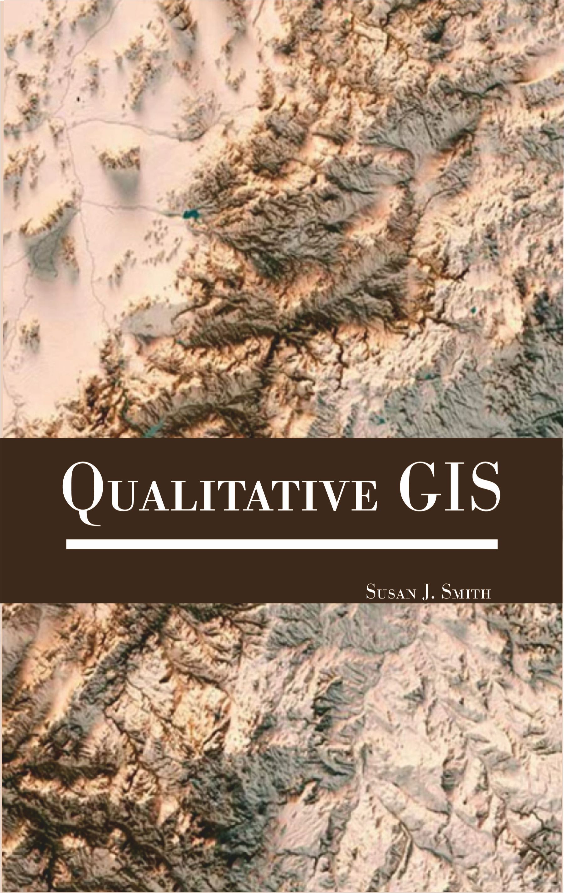
Despite its relatively weak quantitative functionality, GIS is primarily associated with statistical and quantitative spatial analysis. This creates a particular representation of GIS as linked to traditional understandings of science and technology and, critically, to corporate power and institutions of control. In addition, constructing GIS as solely quantitative prevents it from being used for qualitative analysis, non-quantitative spatial analysis, and progressive research that often (although not always) relies upon non-quantitative research methods. GIS is, however, well suited for particular forms of qualitative research. For example, it allows for a rich visualization of information in the form of maps and other types of graphic data representation. In this sense, cutting-edge research in geovisualization is directly supporting non-quantitative uses of GIS. In addition to geovisualization, other recent research illustrates not only that a qualitative GIS is possible and growing but that it fulfills an important epistemological function. This function consists of the ability to visualize and investigate social phenomena that cannot be represented by quantitative databases (whether governmental, commercial, or user created) or analyzed by traditional quantitative and statistical techniques. Not only does qualitative GIS contribute to furthering our scientific understanding of the world by expanding the range of usable epistemologies, but it also supports research agendas that are committed to progressive politics and challenge the status quo. Finally, qualitative GIS also contributes to advances in social theory because it easily incorporates space into our thinking about the world and allows us to ask research questions that can only be addressed through mixed methods research. Qualitative geographic information systems (GIS) is a term representing diverse attempts to integrate qualitative data into existing GIS programs. Qualitative geographic information systems (qual-GIS) incorporates non quantitative data into GIS, integrates qualitative data collection and analysis with quantitative spatial analysis facilitated by GIS, adopts epistemologies typically associated with qualitative research, or a combination of these. Geographic Information Systems are an essential tool for analyzing and representing quantitative spatial data. Qualitative GIS explains the recent integration of qualitative research with Geographical Information Systems. With a detailed contextualising introduction, the text examines how researchers are using GIS to create new types of representations; working with spatial data, maps, and other visualizations to incorporate multiple meanings and to provide texture and context.
Professor Susan J. Smith has a distinguished career both as a human geographer and in the interdisciplinary world of housing studies. In addition to a programme of research spanning more than 30 years, Professor Smith is experienced in research management, research strategy, and research assessment of all kinds. She has contributed to the work of the ESRC (Research Grants Board, Professorial Fellowships Commissioning Panel, Public Services Programme Commissioning Panel), HEFCE (as a panel member in the 2001 and 2008 Research Assessment Exercises), the Leverhulme Trust (Philip Leverhulme Prize panel), and to research development and monitoring in HEIs within and beyond the UK. She has a wide-ranging teaching and examining portfolio, at all levels, in a variety of topics; and she is active in the communication dissemination of ideas beyond the academy.
| Preface Chapter 1. Foundations of Qualitative GIS Origins and Development of GIS as a Scientific Discipline Differentiating Qualitative GIS from Quantitative GIS Philosophical Underpinnings: Humanistic and Critical Geography Role of Subjectivity and Reflexivity in Spatial Research Paradigm Shift from Positivism to Post-Positivism in GIS Chapter 2. Qualitative Data in GIS Types of Qualitative Spatial Data Integrating Field Notes and Ethnographies in GIS Geo-Narratives and Spatial Storytelling Participatory Mapping and Community Sketch Maps Chapter 3. Methodologies in Qualitative GIS Grounded Theory and Spatial Interpretation Ethnographic Methods and Spatial Embedding Visual Methodologies and Photo Mapping Cognitive Mapping Techniques and Interpretation Semi-Structured Interviews and Spatial Referencing Chapter 4. Software and Tools For Qualitative GIS Overview of GIS Software Supporting Qualitative Data Using ArcGIS and QGIS for Narrative Mapping Open-Source Tools for Participatory GIS Multimedia and Hyperlinked GIS Layers Chapter 5. Participatory GIS (PGIS) Principles and Goals of PGIS Power Dynamics in Map-Making Indigenous Mapping and Cultural Preservation Ethical Considerations in Participatory Projects Pgis for Disaster Management and Response
|
|

$280.00