
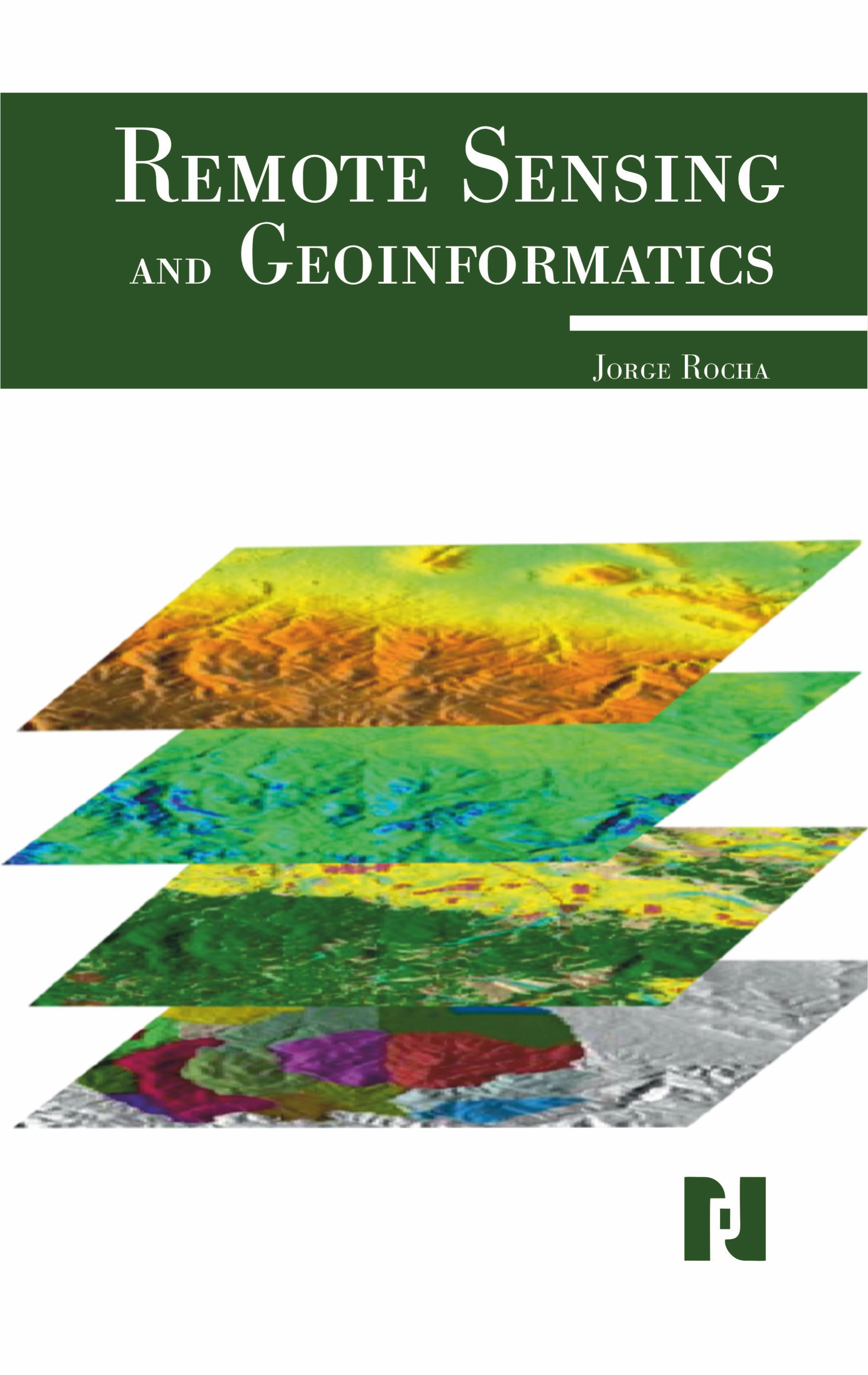
Remote sensing and geoinformatics are closely related fields, with remote sensing providing the data and geoinformatics providing the tools to analyze and manage that data. Remote sensing is the process of acquiring information about an object or area from a distance, typically using sensors on satellites or aircraft. Geoinformatics, also known as Geographic Information Systems (GIS), is a system used to capture, store, analyze, manage, and present spatial or geographical data. Geoinformatics today has become an important technology to decision-makersacross a wide range of disciplines, industries and organisations as it enables them to acquire, process, analyse, visualise spatial information and produce outputs. Remote Sensing and Geoinformatics provides information on how remote sensing relates to the natural resources inventory, management, and monitoring, as well as environmental concerns. It explains the role of this new technology in current global challenges. Remote Sensing will discuss remotely sensed data application payloads and platforms, along with the methodologies involving image processing techniques as applied to remotely sensed data. This title provides information on image classification techniques and image registration, data integration, and data fusion techniques. How this technology applies to natural resources and environmental concerns will also be discussed. This a basic text book on remote sensing GIS, Digital Image processing for all the students enrolled in the subject of Geography and Geoinformatics. Compared to other introductory text books, this book focuses on the up-to-date techniques of Geoinformatics. This book also provides an exhaustive coverage of optical, thermal and microwave remote sensing, global navigation satellite systems (such as GPS), digital photogrammetry, visual image analysis, digital image processing, spatial and attribute data model, geospatial analysis, and planning, implementation, and management of GIS. Earth observation (EO) satellites have already revealed their suppleness in providing data to a comprehensive series of solicitation in natural resource management. The chapters of the book provide comprehensive and basic concepts of Remote Sensing technology, explore the basics of satellite imagery, its types and characteristics, present the digital image processing techniques with advance image processing algorithm, cover the aerial photography and photogrammetric techniques and elucidate the basics of GIS and illuminate the fundamental basis of GIS technology, spatial data modeling, attributes data management, GIS data analysis, and modeling.
Jorge Rocha is a geographer. He has an MSc in Geographic Information Systems (2003) and Spatial Planning (2013), and a PhD in Geographic Information Science (2012). Currently, he insane assistant professor at the Institute of Geography and Spatial Planning and a member of the Modelling, Urban and Regional Planning, and Environmental Hazard and Risk Assessment and Management research groups of the Centre of Geographical Studies, all at the University of Lisbon. His field of expertise is geosimulation and geocomputation, involving artificial neural networks, graphs theory, cellular automata, and multiagent systems. Jorge’s works are quite diverse, focusing mainly, but not exclusively, on urban morphology, remote sensing, epidemiology, health geography, smart cities, and big data.
Preface Chapter 1. Introduction to Remote Sensing Chapter 2. Fundamentals of Electromagnetic Radiation Chapter 3. Remote Sensing Platforms and Sensors Chapter 4. Image Acquisition and Data Types Chapter 5. Image Interpretation and Analysis Chapter 6. Digital Image Processing Chapter 7. Geographic Information System (GIS): Basics Chapter 8. Data Collection and Surveying Techniques Chapter 9. Geospatial Data Models and Databases Bibliography Index

$280.00